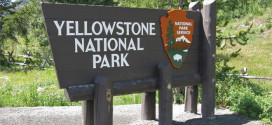
Updated: Saturday August 9, 2008. Details below the map.

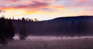
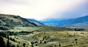
Higher humidity, some cooling, and the passage of numerous thunderstorm over the past several days have greatly reduced the activity of all fires in the Greater Yellowstone Region. While not quite ‘all quiet’, conditions for visitors to the area are ‘normal’ (with the possible exception of smoke and visibility problems along the Cody Memorial Highway because of the Gunbarrel fire).
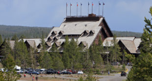
[Saturday, August 9] Gunbarrel Fire: Shoshone National Forest, Wyoming (35,500 acres). Fire conditions have been favorable for several days as higher humidities and some rains have helped dampen the area. This slowed the progress of the burn and gave firefighters time to work on defenses. Although largely burning in the Shoshone National Forest and North Absaroka Wilderness Area and moving east and north with the prevailing winds, Gunbarrel is a problem fire. One flank of the fire has moved south and west — downhill and down drainage – up to the North Fork of the Shoshone River. In this area some lodges and other tourist facilities were temporarily evacuated. The Buffalo Bill Highway (U.S. 20, 14, 16) between Cody and Yellowstone Park is open, but areas of heavy smoke may necessitate following a pilot car for safety. One campground remains closed -Three Mile. [Saturday, August 9] Tumble Creek Fire: Montana, Beartooth/Absaroka Wilderness (320 acres). Because of favorable weather conditions (cloudy, cooler, more humid) the fire is considered 100% contained. [Saturday, August 9] Cascade Fire: Montana, Custer National Forest and private land (10,200 acres). Now rated as 85% contained and entering the ‘mop up’ phase of firefighting. Located in the the West Fork of the Rock Creek canyon, the fire had endangered the Red Lodge Mountain Ski Area, but has been put under control. Roads in the West Fork area are opening, subject to conditions. The fire began in or near the Senia Campground and spread east and north. Nearby U.S. Highway 212 (the Beartooth Highway) is fully open, and the city of Red Lodge is operating under normal conditions. [Saturday, August 9] LeHardys Fire: Yellowstone National Park, Wyoming (9,332 acres). The fire began from a downed power line west of the Grand Loop Road near LeHardys Rapids (3 miles north of Fishing Bridge). When it crossed the road at the end of July, the highway was closed. It reopened Saturday, August 2. The fire is now burning on the east side of the Yellowstone River and moving away from the highway into the wilderness. It is classified as a ‘long term fire’, meaning that it will be watched but allowed to burn until natural conditions stop it – in this case it will run into areas already burned by the 1988 fires, where fuel is limited, and cooler weather (like snow) arrives in September.